Exploring the World of Charles Dickens through Maps
See Dickens spatially
When I built this website in 1997 I envisioned maps of Dickens locations as the centerpiece of the site. My love of Dickens and a career spent working for the U.S. Geological Survey, the mapmaking arm of the U.S. Government doing web development, combined to form The Charles Dickens Page.
Dickens is explicit in naming places, and readers like me are naturally curious to see the scenes mapped out. I want to see how they got from place to place and how these places relate spatially. I started with Dickens' London and the process of mapping Dickens continues with each rereading of the books.
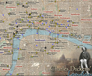 Charles Dickens London Map Clickable map of the London locations in the novels as well as Dickens' homes in London. Selecting a location reveals more information. |
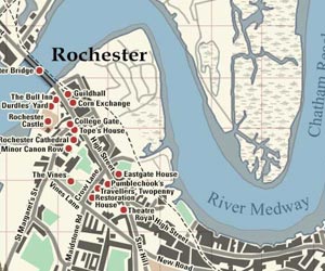 Charles Dickens Rochester/Chatham Map Clickable map of the Rochester/Chatham locations in the novels. Selecting a location reveals more information. |
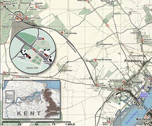 Charles Dickens Higham Map Clickable map of the Higham locations associated with Dickens and other points of interest. Selecting a location reveals more information. |
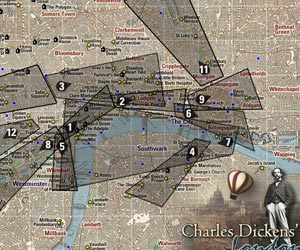 Charles Dickens Aerial London Map Clickable areas of London that reveal aerial views of Victorian London drawn by Thomas Sulman while flying over the city in a balloon in the 1880s. |
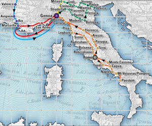 Charles Dickens Italian Travels Map Clickable map of Dickens' Italian travels of 1844/45. Selecting a location reveals more information. |
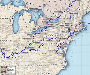 Charles Dickens 1842 Travels in America and Canada Map Dickens was given rock star status in 1842 when he visited America. This clickable map shows the route taken during his 6-month visit. Learn more by clicking on each of the stops he made along the way. |
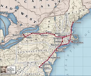 Charles Dickens American Reading Tour 1867/68 Map Dickens visited America for a second time in 1867/68 and gave a series of public reading from his works. |
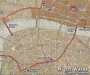 Charles Dickens Night Walks Map In the article Night Walks for All the Year Round in 1860 Dickens has trouble sleeping and spends several nights walking around London. This map shows the route of his nocturnal ramblings. |
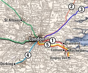 Charles Dickens Pickwick Papers Map Mapping the adventures of Samuel Pickwick and his friends Nathaniel Winkle, Tracy Tupman, Augustus Snodgrass, and Pickwick's faithful servant, Sam Weller. |
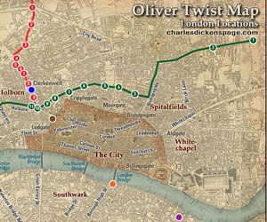 Charles Dickens Oliver Twist London Locations Map Map of Oliver Twist locations as well as a close up of the routes taken within London. |
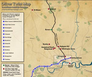 Charles Dickens Oliver Twist Locations Outside London Map Map of Oliver Twist locations as well as a broad view of the routes taken outside London. |
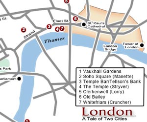 Charles Dickens A Tale of Two Cities London Map London locations mentioned in A Tale of Two Cities. |
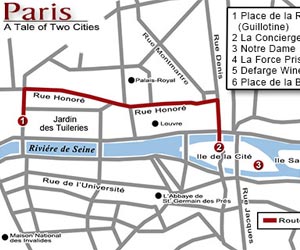 Charles Dickens A Tale of Two Cities Paris Map Paris locations mentioned in A Tale of Two Cities. |
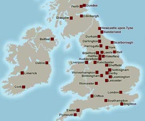 Charles Dickens Reading Tour of Britain 1858 Map Map of Dickens' extensive reading tour of Britain in 1858 |
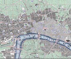 Charles Dickens Barnaby Rudge Map Map of the locations mentioned in Barnaby Rudge. |
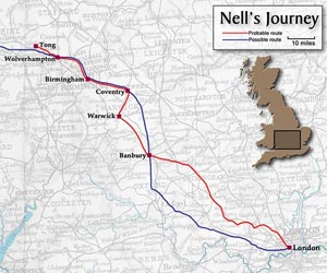 Charles Dickens Nell's Journey Map Map of Nell's journey with her grandfather described in The Old Curiosity Shop. |
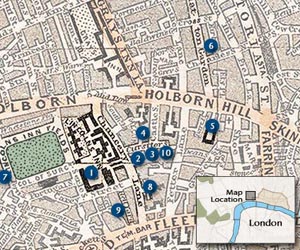 Charles Dickens Bleak House Locations Map Map of the locations described in Bleak House. |
|
